Rock Map
Know precisely where your rocks are.
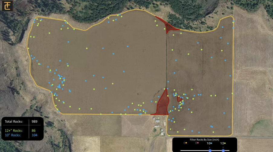
TerraClear’s Rock Map gives you the ability to know where those frustrating rocks are in your field before they become a problem. The Rock Map shows you the size and location of each rock and tracks your progress as you pick them, making you more efficient than ever at picking rock.

Why a TerraClear Rock Map?
Locate Rocks Precisely
Stop combing your fields searching for rocks. TerraClear's Rock Map pinpoints exactly where the rocks are in your field so you can go right to them.
Prevent Equipment Damage
Missing a rock can sideline your equipment at the worst moment. Know that you've done everything to mitigate costly rock damage.
Delegate, Efficiently
Pay your workers to pick rocks, not search for them. Knowing where your rocks are means that you can spend time and money on the problem, not looking for the problem.
Real-Time Rock Tracking
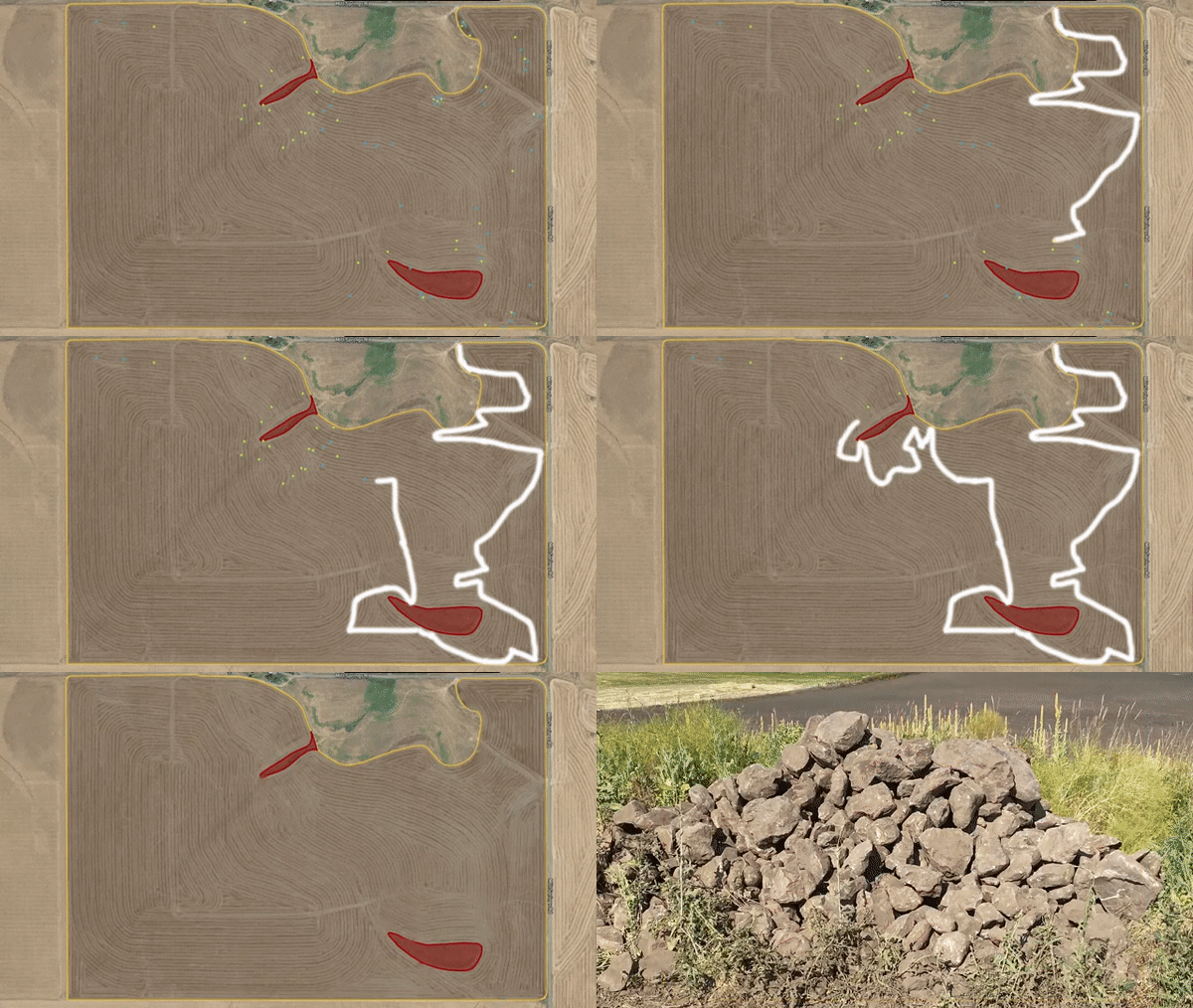
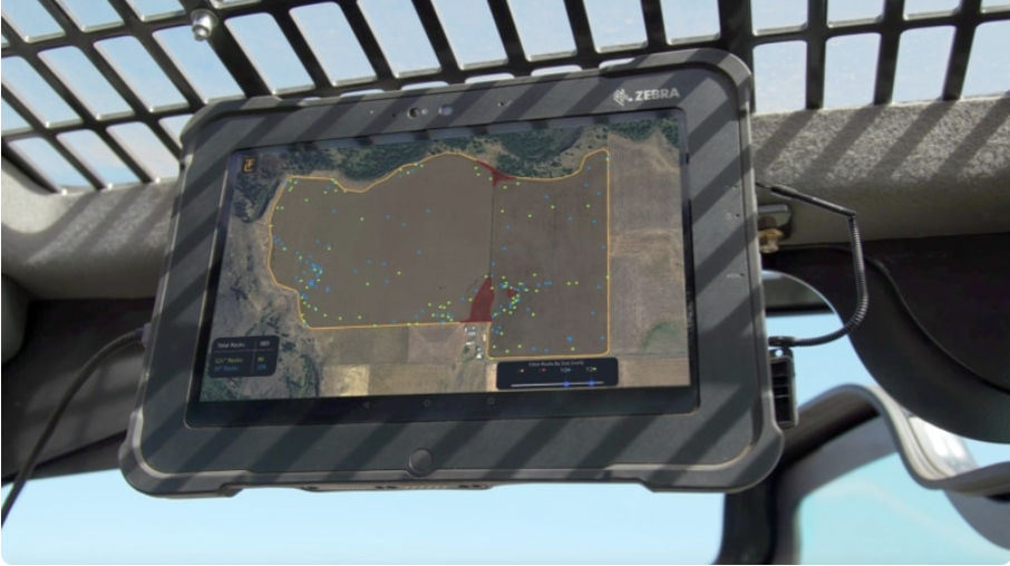
With the TerraClear mobile app, you get a real-time map of your rocks to aid you while you're picking. As you drive to and pick a rock, the map marks the rock as picked.
How It Works
Step 1.
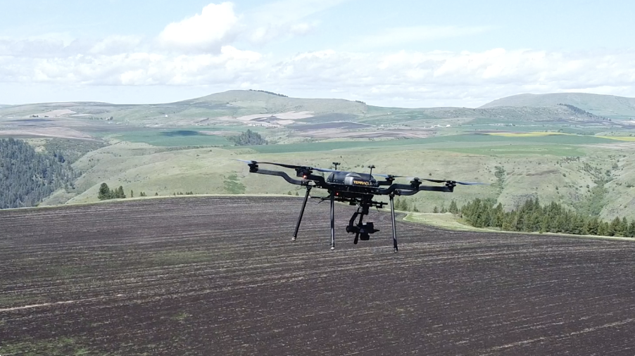
TerraClear and our drone partners capture high resolution aerial imagery of your fields.

Step 2.

Step 3.
Using our mobile app connected to GPS services, you can efficiently navigate to the problematic rocks and track your progress.

From the Farm
“It never gets old looking at these maps, I love people’s faces when they see a picture of the actual rock.”
— Devin Nohl, MN Farmer
“Seeing how the team used the Rock Map and the Rock Picker to pick the troublesome rocks was remarkable. It saved me time during a tight window around planting.”
— Mark Baune, ID Farmer
“The mapping was really impressive. You could easily filter it based on rock size and if you were in a hurry and wanted to just pick the larger rocks in an instant the software would tell you the exact location of all those rocks.”
— Conrad Arnzen, ID Farmer
Rock Map FAQs
TerraClear’s Rock Map gives you the ability to know where those frustrating rocks are in your field before they become a problem. The Rock Map shows you the size and location of each rock and tracks your progress as you pick them, making you more efficient at getting the job done. Another benefit of the Rock Map is that it increases your picking window because you know the exact location of the rocks in your field. This means you can even pick efficiently post-planting, when often rocks are harder to spot. Learn more about TerraClear’s rock mapping and end-to-end solution here.
The Rock Map starts at $4.50 per acre. Significant volume and early ordering discounts are available.
We know you’re going to appreciate the efficiency that the Rock Map adds to your picking operation, but if you aren’t happy with your map after using it, we will refund your money.
To generate the map, we fly your fields with a drone and capture high-resolution imagery. The images are then processed using artificial intelligence to pinpoint the location and the size of rocks that are 8" and larger. The map is delivered to you on our easy-to-use TerraClear app (Android or iOS), which not only shows you where the rocks are located, but using GPS it guides you along the most efficient route and tracks your progress.
The TerraClear Rock Map can be generated on many field conditions but is most accurate when done on cultivated-bare soil fields, early growth pastures, low emergence seeded fields, and medium to low residue or stubble fields. The bottom line is that if the rocks are visible, TerraClear’s Rock Map will work. Learn more about our Rock Map here or email us at sales@terraclear.com.
The location accuracy of rocks on the Rock Map is less than 50cm. Accuracy using the map in the field to locate rocks is dependent upon your device. Most farmers are successful using the native GPS on their mobile devices (iOS or Android). Learn more about TerraClear’s Rock Mapping Service here.
We deliver every rock map through TerraClear’s easy-to-use mobile app (Android and iOS). Once we’ve processed your map, we notify you and provide instructions on how to access it.
TerraClear’s Rock Map is easy to use and does not require special equipment. To view and use the Rock Map, you will need an Android phone, iPhone, or tablet with GPS. To increase the accuracy, an affordable GPS-boosting device can be used. Contact us here for more information regarding devices and equipment compatible with TerraClear Rock Maps.
Once you’re notified that the Rock Map is available to you via the TerraClear Mobile app, you will see exactly where those troublesome rocks are. By enabling GPS and activating “pick mode” in the app, you are presented with an optimal path to guide you through the field. All rocks within your path are automatically marked as picked as you travel from rock to rock.
Currently, mapping is only available through TerraClear.